Hampshire North
Hampshire North groundwater level.
Help and resources
Useful Commercial links
Useful Region Links


Useful Commercial links


Learn more about groundwater and view the latest levels for the different areas of our region.

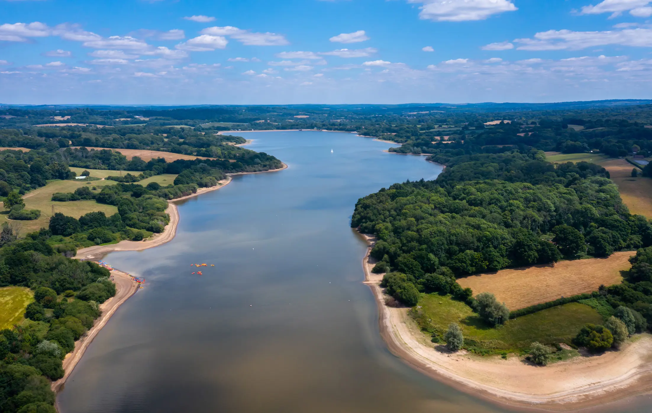
Simply put, groundwater is water that is stored beneath the ground. When it rains, water runs into our streams and rivers and soaks into the soil, which acts like a big sponge. Some of this water is used up by plants and some is returned into the atmosphere through transpiration. Some also makes its way further into the ground permeating through soil and rock and becomes groundwater and part of the water table. There it is stored underground in a layer of porous rock or sediment - known as an aquifer.
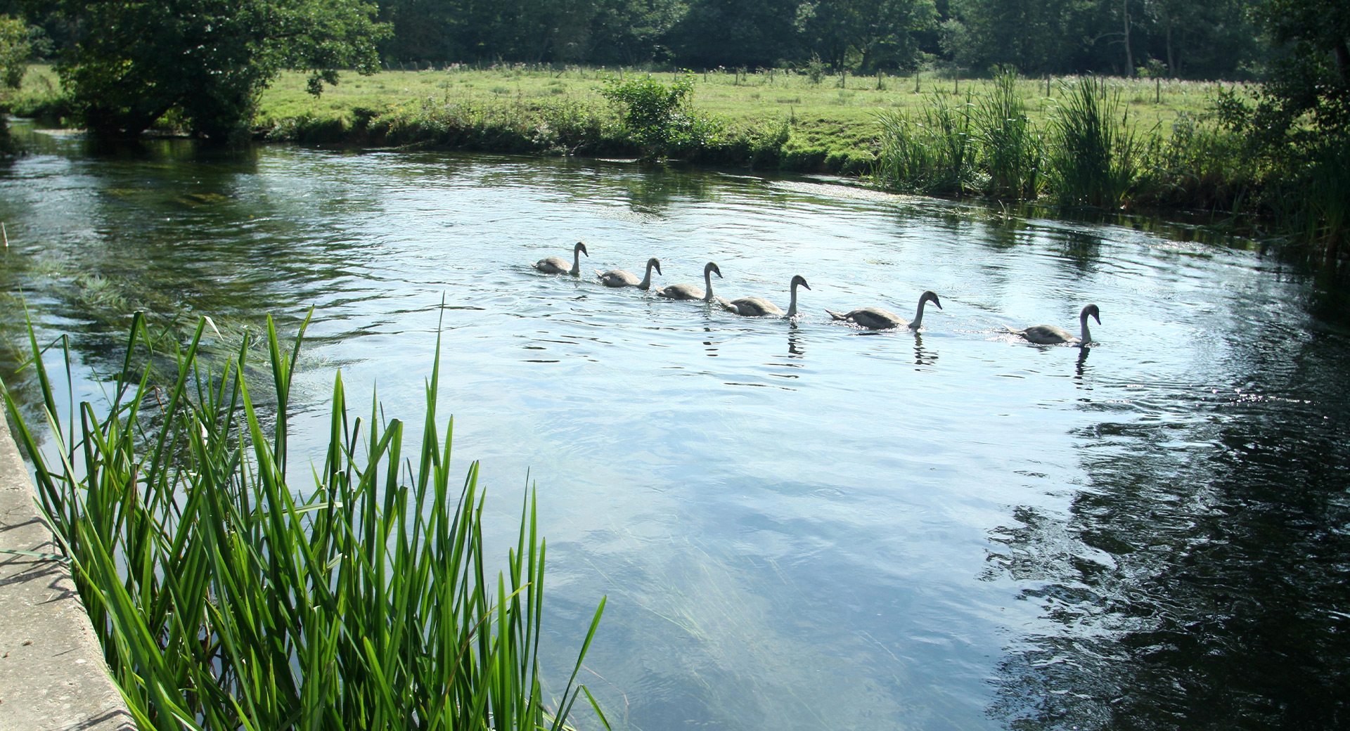
Many of the iconic chalk streams in our region, like the Test and Itchen, are fed by groundwater springs, and where these springs form, is often where we see much higher levels of groundwater.

We receive updates from the Environment Agency and compile the data from readings taken at our indicator boreholes.
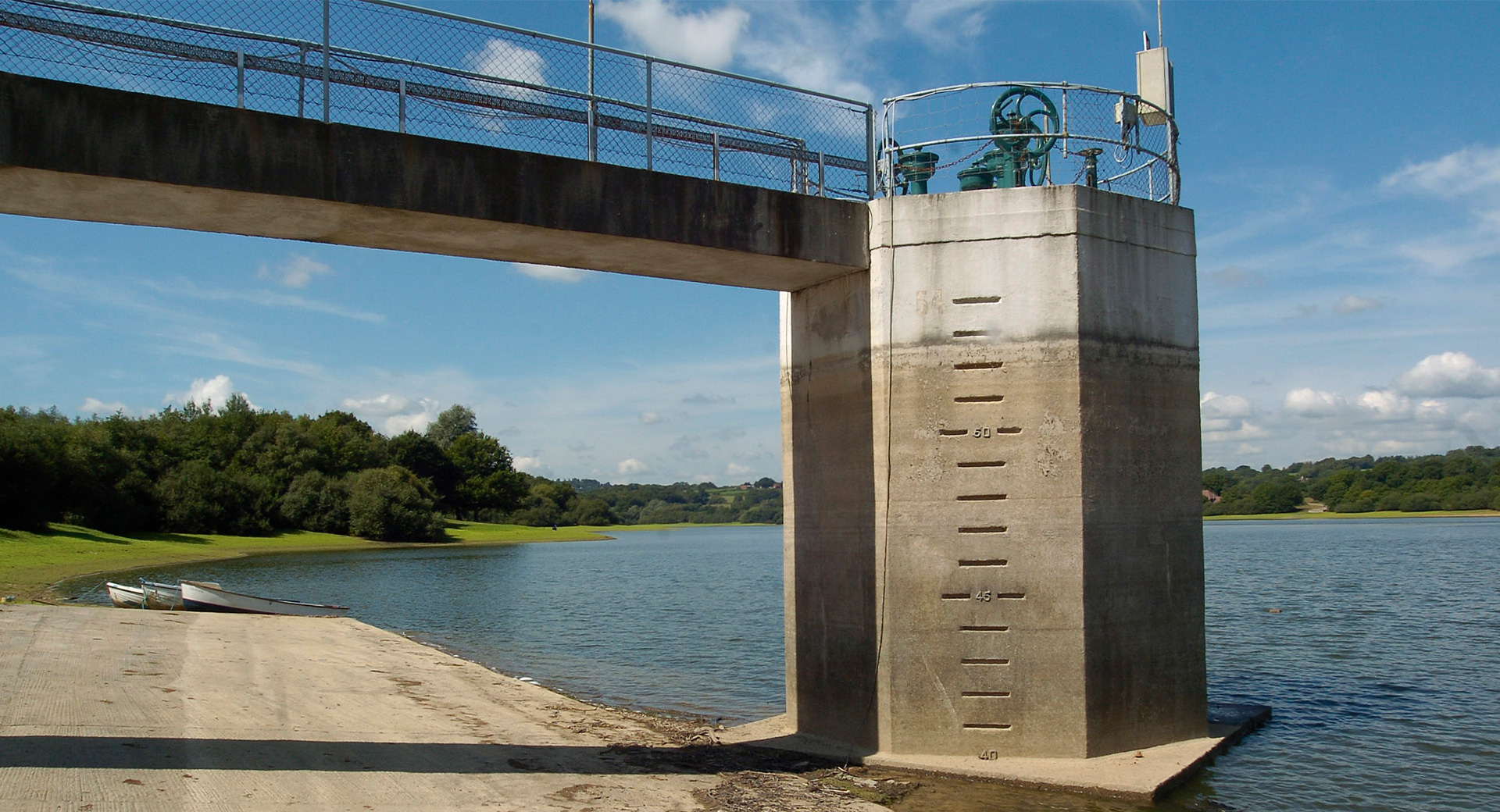
Groundwater is measured in Metres Above Ordnance Datum (mAOD). mAOD is based on the mean sea level at Newlyn in Cornwall and is used as the reference point to calculate height above sea level in the UK.
The graphs below show the latest groundwater levels compared to previous years. The red, orange and yellow lines show how the actual levels compare to what's considered as exceptionally or notably low.

We live in a chalky area, making us prone to high groundwater levels, especially in hilly regions. Villages in valleys are closer to the water table, increasing groundwater issues. Chalk acts like a sponge, causing a lag between rainfall and rising river flows, meaning groundwater impacts can persist even after weeks without rain.
Flooding is just one challenge. When groundwater enters the sewer network, it overwhelms systems designed only for wastewater, leaving less capacity and creating immense pressure. In severe cases, we use tankers to remove excess water, but this is only a short-term fix.
For long-term solutions, we:
With extreme weather becoming more common, we’re investing in measures to protect our customers for the future.

With increasing rainfall averages across our region, it’s easy to see why the water table has risen. So much so, that in some areas, it’s pushed its way up through cracks in the ground, making its way above the surface causing groundwater flooding. Groundwater can also make its way into our sewers.
The drought status in any area is based on several factors including historic rainfall, groundwater and reservoir levels. If a groundwater drought trigger level is met this does not necessarily mean the overall drought status has changed.
Drought trigger curves are based on those in our current Drought Plan.