Groundwater and why it matters
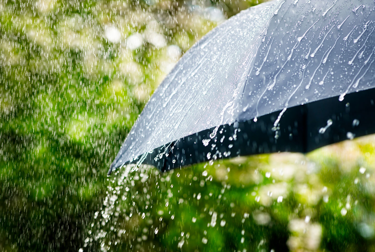
When it rains, some of the water runs into streams and rivers, while the rest soaks into the soil and slowly makes its way deeper underground, becoming part of the water table. This water collects in chalk and rock, forming the aquifers (natural underground water store) that feed our region’s much loved chalk streams, including the Test and the Itchen.
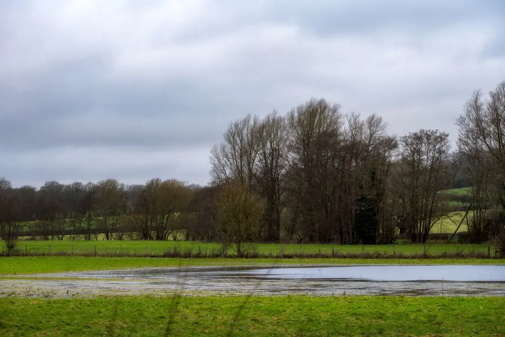
Because chalk holds water like a sponge, groundwater levels rise slowly and stay high long after the rain has stopped – especially in valleys, where villages sit closer to the water table.
As levels continue to rise, groundwater can push up to the surface, causing flooding, and can also enter our sewer network. When this happens, it overwhelms systems built only for wastewater, reducing capacity and putting the network under pressure.
Although we’re not responsible for groundwater flooding, we do everything we can to help reduce its impact on our communities.