
1. What are storm overflows?
During heavy rain, local sewer networks can struggle to cope with the amount of water entering pipes and storage tanks.
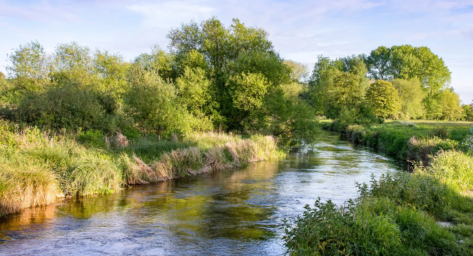
When they fill up, we use pressure relief valves built into the network – known as storm overflows – to stop homes and businesses from flooding. These overflows release excess water through pipes called outfalls into rivers and the sea. Storm overflows are part of the design of the sewers and are regulated by the Environment Agency. They're used in areas where the sewers were built to carry both wastewater from homes and businesses, and rainwater from roofs, gardens and roads.
As storm overflow releases typically happen when there’s a huge amount of rainwater or groundwater in the system, they are heavily diluted and often screened before being released.
Each release can vary significantly in terms of the concentration of wastewater, rainwater and groundwater that's released to the environment. The dilution rate can be as much as 95% rainwater and groundwater to 5% wastewater but can be lower in some circumstances. We're looking into how we can provide more information on concentration rates to the public.
2. How does Rivers and Seas Watch know if there has been a storm overflow release?
We use sensors in our storm overflows called Event Duration Monitors or EDMs for short. Data from these sensors is processed through a number of applications to understand if there was a genuine storm overflow release or a false alarm, as well as what time the release occurred and for how long.
Manual checks are carried out by our analysts to make sure that the data is as accurate as possible. If we’re looking into a release and its validity, the icon on the Rivers and Seas Watch map will turn white until we’ve finished investigating, at which point the colour will change to show if there has been a release or not. The data shown on Rivers and Seas Watch is the same data that we share with our official regulators. We believe in open access to data to ensure transparency, and accountability for improvements.
3. How long does it take for release events to be reviewed and validated?
This depends on whether the release event is reviewed by only our automated system, or by the spills team as well. If the release event data is clear enough that our systems can determine with a good degree of accuracy that the release is ether genuine, or a false alarm, the review, validation and display on Rivers and Seas Watch happens instantly.
If the data isn't clear enough for an automated determination, our spills team manually investigate. This can be either digitally, by checking different data sources, or manually, by going out to investigate equipment. Depending on how many events are awaiting manual review, and environmental factors like the if the weather is preventing access to equipment, manual review times can vary. Releases under review will still be shown on Rivers and Seas Watch.
We're finding ways to reduce the time it takes to review release events by utilising new technologies to enhance our automated review process and make our systems better able to make accurate determinations on whether a release is genuine or not genuine.
4. How are releases counted and grouped and how is this compared to annual reporting?
Rivers and Seas Watch shows every individual storm overflow release that occurs across our region. This means that regardless of how short and close together release events are, they will always be shown as individual releases.
However, when reporting to our regulator, we use the Environment Agency's 12/24 grouping method. This means that any releases from the same outfall within a 12-hour period are combined into one release.
This method works like this:
When the first release happens, we start counting.
Any releases in the first 12 hours count as one.
Each release in the next 24 hours counts as one more.
Keep counting until there's a whole day (24 hours) with no releases.
If there's another release after a day without any, start counting again, starting with one for the first 12 hours, and so on.
You can read more about this method, as defined by the Environment Agency’s guidance.
5. Why can’t Southern Water tell me if the water is safe to swim in?
Storm overflows can have an impact on water quality, however there are many other contributing factors including agricultural run-off, seabird and animal matter and marine activity.
Because of these other factors, we can’t advise about water quality and whether it’s safe to swim. We can only make predictions about water quality impact caused by storm overflow releases.
6. Can I get notified of releases?
Yes, simply click 'subscribe’ at the top of the map to sign up for email updates. You can sign up for updates on just one bathing water location, or multiple sites. We'll then notify you via email if there has been an impacting storm overflow release at the site(s) you've subscribed for. You can unsubscribe at any time.
7. How does Rivers and Seas Watch know if the release has affected bathing waters?
We use tidal modelling to work out what will happen to a storm overflow release once it hits the water, and what bathing waters it could impact. Tidal modelling predicts release behaviour, factoring in wind, tide strength, and direction.
Validated with survey data and dye tests, our models mimic real-world scenarios, ensuring accurate performance in predicting movement and dispersion. For instance, bathing water quality won’t be impacted if the outfall is 5km out to sea, the release was short, and the tidal conditions indicate there could be no impact on bathing water. Read more about tidal modelling.
8. How does Rivers and Seas Watch know which outfalls are associated with each bathing water
If a release from that outfall has the potential to impact a bathing water, then it's deemed an associated outfall. Outfalls can be associated with more than one bathing water, this is because the tide and wind conditions can push releases in different directions.
9. How long does an impacting release take to clear?
We allow 72 hours to pass after a storm overflow release ends before we update the bathing water status to 'not impacted'. This is a conservative timeframe to allow any pathogens from storm overflows to disappear.
10. How do I know the data is accurate?
Data accuracy of storm overflow releases
The data received from our various sensors is sent to an analysis system called Aspire where several factors are taken into consideration to determine the accuracy of the data. If the data passes the accuracy threshold on Aspire, it’s automatically added to Rivers and Seas Watch. This is to ensure we can make the public aware of a potential release at the earliest opportunity.
If the event needs to be manually reviewed by our spills team for accuracy, it will appear in Rivers and Seas Watch as under review. The spills team will then take a closer look at the data and confirm the event as either;
Genuine and has impacted bathing water quality
Genuine but has not impacted bathing water quality
Not genuine, and therefore is not applicable
Data accuracy of locations
We aim to provide the most accurate location data for our outfall markers and bathing water pins as possible. Our outfall data is gathered from our permit database, the Event Duration Monitors (EDMs) installed at the storm overflows (that the outfall is linked to) and our knowledge of the network. The bathing water locations shown on the map are matched to the recognised bathing sites provided by the Environment Agency.
11. What are check factors and how do they work?
On many of our storm overflow points there are multiple Event Duration Monitors (EDM’s) to detect when releases occur. These telemetry signals are populated into an overflow profile which then generates the Check Factor, which is simply a reflection on whether these different sensors agree with each other. The more signals agree, the higher the Check Factor; this is a strong indicator that a release is genuine. If the signals do not agree, this results in a lower Check Factor, which can indicate a monitor has experienced a false activation and therefore less likely to be a genuine release, and more likely to be not genuine.
12. Why don’t you measure flow rate?
We do measure an approximate ‘average flow rate’ for each overflow, however, as storm overflows operate in a variety of different ways, measuring flow rate and finding links in the results is very complicated. There are many variables, meaning results will have varying degrees of reliability. During heavy rain, the flow from our outfalls is likely to increase, with the release containing a much higher concentration of rainwater.
The same goes for groundwater entering the network; we could potentially measure the flow, but without knowing how diluted the release is, the flow rate wouldn’t give us much more information than our Event Duration Monitors (EDMs) already do.
For example, we could have one release (release 1) that was recorded as a 100-litre release, and another (release 2) recorded as a 50-litre release. By this data, release 1 would appear to have more of an impact on water quality. However, if we consider the factors mentioned above, release 1 could be only 1% wastewater and release 2 could be much higher. Instead, the requirement is for an EDM to be installed.
EDMs detect the start and end of an overflow event so we can see how long it lasted. The information from EDMs is enough to spot links, such as poor bathing water quality, and is used to determine which overflows are the highest priority.
There are additional factors taken into consideration, such as reducing the impact on shellfish waters, environmentally sensitive sites and bathing waters. You can see how we’ve prioritised each overflow and the work we plan to do on them in our Clean Rivers and Seas Plan.
13. How are you making sure Rivers and Seas Watch remains useful?
We want to make sure that Rivers and Seas Watch offers transparent data and provides the information the public wants in a clear and meaningful way. To do this, we actively listen and seek feedback from our Rivers and Seas Watch Working Group. This group is made up of local authorities, campaign groups, bathing water users and interested stakeholders, who advise us on improvements we need to make. Changes to the site are presented to the group for feedback, before changes are made.
We also survey Rivers and Seas Watch users and hold independent reviews to understand what users would like to see and how they wish to use the service. This has been a critical process in developing Rivers and Seas Watch, and we’ll continue to assess and improve the platform as time goes on.
14. Why replace Beachbuoy?
Beachbuoy has been a valuable tool for our community, allowing us to offer transparency about coastal storm overflow releases to the public since 2021. However, Beachbuoy’s technology did not allow us to improve it in the ways we wanted – adding all of our storm overflow releases, implementing the recommendations from the Beachbuoy independent review, and the feature and improvement ideas from our community.
Rivers and Seas Watch offers significant improvements today, and the foundations to be able to make improvements into the future.
15. Why can’t I see older release data for inland overflows on the release history page?
Inland outfalls were not featured on Beachbuoy, so the release history available for them within Rivers and Seas Watch only backdates to when Rivers & Seas Watch was launched in June 2024.
We do keep records of this data,
and we publish this for our annual reports to regulators. We’re looking at ways to add our annual report data to Rivers and Seas Watch as soon as possible. However, in the meantime you can view these reports on our website.